CMAR’s great underwater ‘puzzle’
By Ximena Boza
Panamanian oceanographer and hydrographer. She collaborates with the regional initiative Alianza Océano Profundo in the Eastern Tropical Pacific.
Beneath the ocean’s surface lies a landscape as complex as that on land: mountains and volcanoes, enormous mountain ranges, vast plains, canyons and trenches hidden beneath kilometers of water. Both on land and in the ocean, relief controls physical, climatic, and ecological processes that sustain life on our planet and directly influence our daily lives. However, there is a major difference between the two: while we have detailed and precise maps of nearly the entire land surface, we still know surprisingly little about the ocean floor.
Imagine trying to predict Costa Rica’s climate without knowing that the Talamanca mountain range exists. It would be far harder to understand the country’s patterns of rain, wind, and temperature. The same is true of our oceans. Our limited knowledge of the underwater relief leaves us with an incomplete “puzzle” of the ocean and a fundamental question: how can we make truly informed decisions for the exploration, research, and conservation of our oceans if we still don’t fully know their depths?
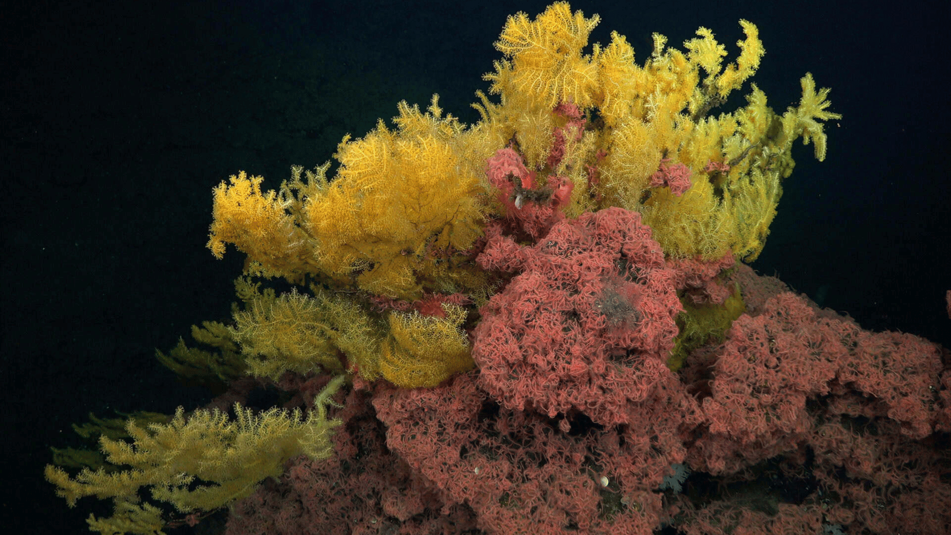
The science responsible for measuring depth and mapping underwater topography is known as bathymetry. High-resolution bathymetry allows us to study and understand with greater precision the currents and ocean processes that regulate global climate, as well as to determine the distribution of deep marine habitats and ecosystems that today face growing threats from human activities such as illegal and unregulated fishing, seabed mining, and pollution. Even so, exploring our oceans remains one of the greatest scientific and technological challenges of our era. Extreme pressure, darkness, and great depths impose enormous physical barriers to directly observing the seafloor.
This lack of knowledge represents a critical limitation for science, exploration, conservation, and informed decision-making on the sustainable management of our oceans, particularly in one of the most ecologically and oceanographically strategic regions on the planet: the Eastern Tropical Pacific Marine Corridor (CMAR). CMAR connects the waters of Costa Rica, Panama, Colombia, and Ecuador, and is recognized worldwide for its extraordinary biodiversity, ecological connectivity, and migratory routes that are key for numerous marine species.
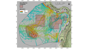
Considering bathymetry as a fundamental variable for CMAR, and within the framework of the regional initiative “Alianza Océano Profundo del Pacífico Tropical Oriental” [Deep Ocean Alliance of the Eastern Tropical Pacific], we developed a compilation of existing bathymetric data obtained through multibeam echosounders, the modern technology currently used to map the seafloor in great detail. The goal was to begin building a clearer, more complete picture of the region’s underwater relief and to understand how much we truly know about this treasure.
To date, approximately 45% of CMAR’s seafloor has been mapped in high detail. This means that more than half of the region is still represented through estimates or limited information, which hinders our ability to fully understand many of the region’s ocean processes and vulnerable ecosystems, as well as their influence on the rest of the planet.
The challenge now is to keep completing this underwater “puzzle” through new data and future expeditions, strengthening regional and international collaborations that can advance science and exploration in the region. Because completing this puzzle doesn’t just mean producing more detailed maps — it means giving science a stronger foundation for future research and discoveries.
It also means continuing to gather information that helps us better understand ocean processes and the migrations of key marine species, which recognize no borders and connect our region with the rest of the world. At the same time, it allows us to identify vulnerable ecosystems and strengthen decision-making aimed at the conservation, management, and administration of existing marine protected areas, as well as the expansion and creation of new marine conservation areas.
Because the future of our oceans — and our own — will depend in large part on how much we manage to understand their depths.