-
Earth Ranger tool enables real-time tracking of animals and assets such as vehicles, integration of historical and current data from diverse technologies, and automatic alerts for events such as fires, geofence breaches, and unusual wildlife movement patterns, including immobility and changes in speed.
-
Visualization of geospatial information for ecological and operational analysis, along with a mobile application that allows park rangers to submit information from the field.
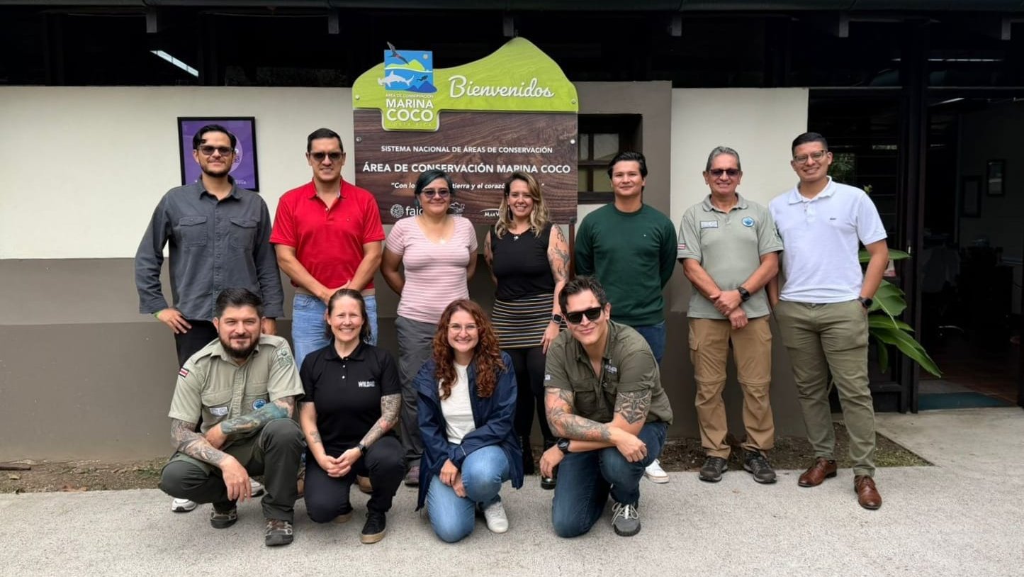
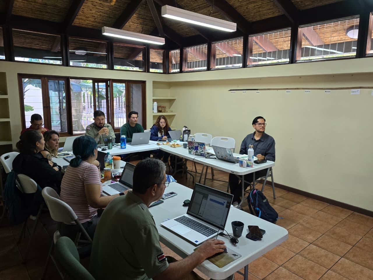
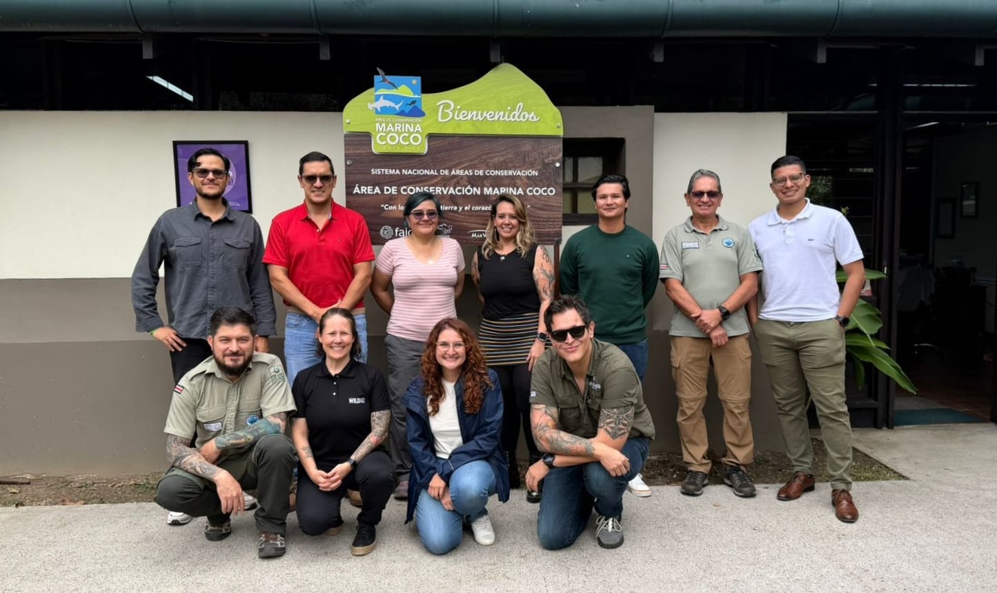
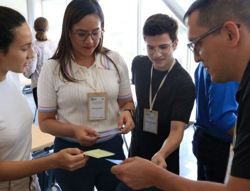
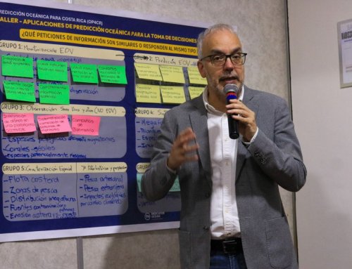
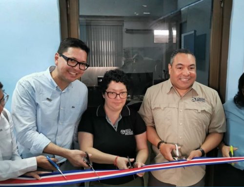
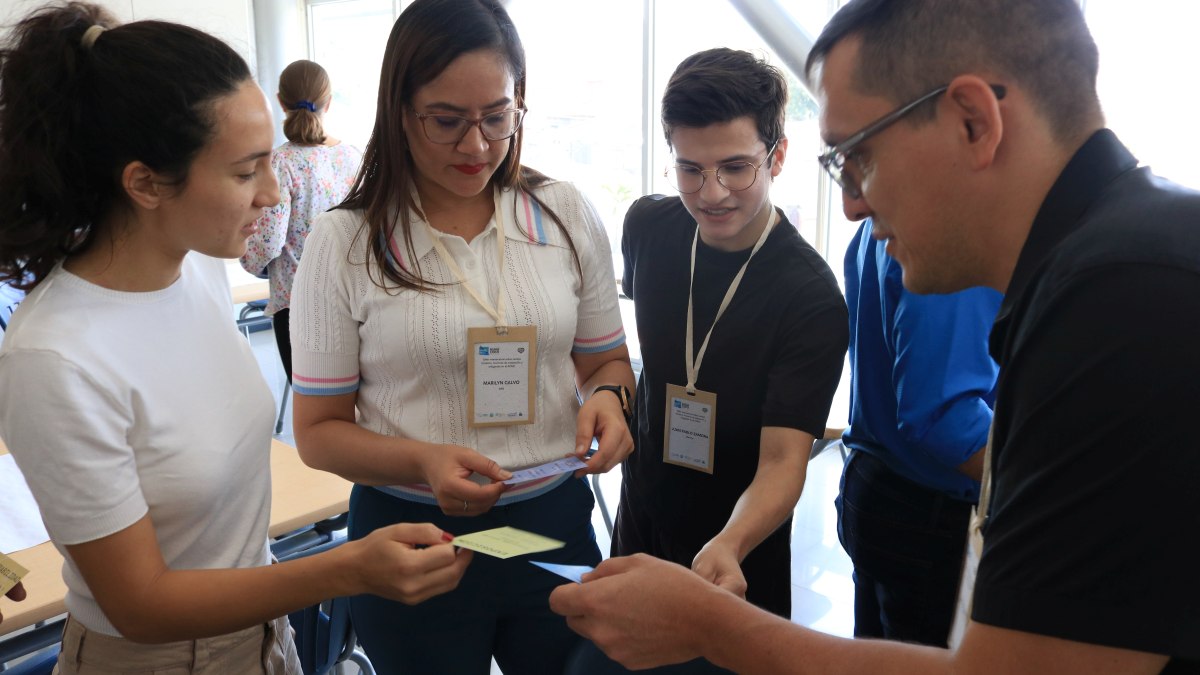
The Ministry of Environment and Energy (SINAC-MINAE), through the Coco Marine Conservation Area (ACMC), is strengthening its institutional capacities through training in the use of EarthRanger, a key tool to optimize processes for recording, documenting, and systematizing information—essential for decision-making—and to support conservation actions in the marine territory.
This training is carried out as part of the project “Strengthening the actions of the Prevention, Protection, and Control Program for Marine Protected Areas of the Coco Marine Conservation Area (ACMC) 2025,” funded by Fondo Azul Costa Rica, co-financed and managed by Costa Rica por Siempre, and implemented by WildAid and Amigos Isla del Coco (Faico), with the support of EarthRanger.
“The implementation of EarthRanger marks a milestone in the transformation of marine conservation: more modern, collaborative, and effective management, where technology becomes a key tool to strengthen monitoring, control, and surveillance, and to make informed decisions that ensure the sustainable use of our marine-coastal resources and the efficient use of SINAC’s financial and human resources,” highlighted Franz Tattenbach, Minister of Environment and Energy.
“Through Fondo Azul Costa Rica, we support innovation as a key tool to strengthen the capacities of park rangers on Cocos Island, convinced that knowledge and technology enable more effective and responsible management of our marine ecosystems,” said Federico Cartín, Executive Director of Costa Rica por Siempre.
“Cocos Island is a place of extraordinary beauty—both above and below the surface—that inspires awe. However, its remoteness poses conservation challenges that require us to continuously improve the tools we have created to help protect it,” said Jes Lefcourt, Director of EarthRanger.
“WildAid is proud to support this initiative aimed at strengthening the ACMC Marine Protection System through a platform tailored to the needs of staff and conservation objectives, enabling real-time monitoring of patrols and route optimization in a remote territory, improving fuel use and overall resource management,” said John Baker, President and Chief Program Officer, WildAid.
“Strengthening capacities in data generation and systematization provides greater support for decision-making, enhances park rangers’ knowledge, and reinforces the value of incorporating new tools. For Faico, promoting these initiatives in coordination with ACMC and WildAid is yet another demonstration of the importance and role of strategic partnerships in marine conservation in our country,” stated Alejandra Villalobos, Executive Director of Amigos Isla del Coco.

The initiative is also framed within a cooperation agreement between SINAC-MINAE and EarthRanger, through the Allen Institute for Artificial Intelligence, aimed at strengthening the operational capacities of conservation areas through the implementation of this platform. Developed by AI2 (Allen Institute for AI), founded by Microsoft co-founder Paul Allen, the platform integrates real-time information. EarthRanger is a comprehensive management system for protected areas that centralizes data from multiple sources—such as animal trackers, sensors, camera traps, and ranger patrols—into a single platform.
This tool, provided at no cost to conservation institutions, enables authorities and technical teams to improve productivity and make decisions based on up-to-date data, facilitating threat control, prevention of environmental crimes, species protection, and the management of human-wildlife conflict.
Its main features include real-time tracking of animals and assets such as vehicles; integration of historical and current data from various technologies; and automatic alerts for events such as fires, geofence crossings, and unusual wildlife movement patterns, including immobility and changes in speed. It also enables visualization of geospatial information for ecological and operational analysis; includes a mobile application that allows park rangers to send information from the field; and integrates seamlessly with Ecoscope, an open-source analytics platform that transforms EarthRanger data into dashboards, maps, and reports for deeper analysis and long-term conservation planning.
Within the framework of this specialized EarthRanger training, it is expected to expand to all conservation areas across the country, thereby consolidating the commitment to evidence-based biodiversity management and the use of advanced technology, the Minister added.
The implementation of EarthRanger will improve coordination among institutions, optimize resource use, and increase effectiveness in protecting terrestrial and marine ecosystems, he concluded.
